Rosemary Sherriff and Lucy Kerhoulas, Geography and Forestry & Wildland Resources.

Rosemary Sherriff and Lucy Kerhoulas received an NSF Award for ~$400,000 for three years to assess differential response of conifers to drought across geographic gradients. The project uses the recent, severe California drought as a test case to yield important insights on the effects of multi-year drought stress, competition and habitat factors. This information is needed to model tree responses to climate change and as input for forest management in the face of future wildfire. The project involves field sampling and analysis of tree-ring growth and carbon isotope ratios.

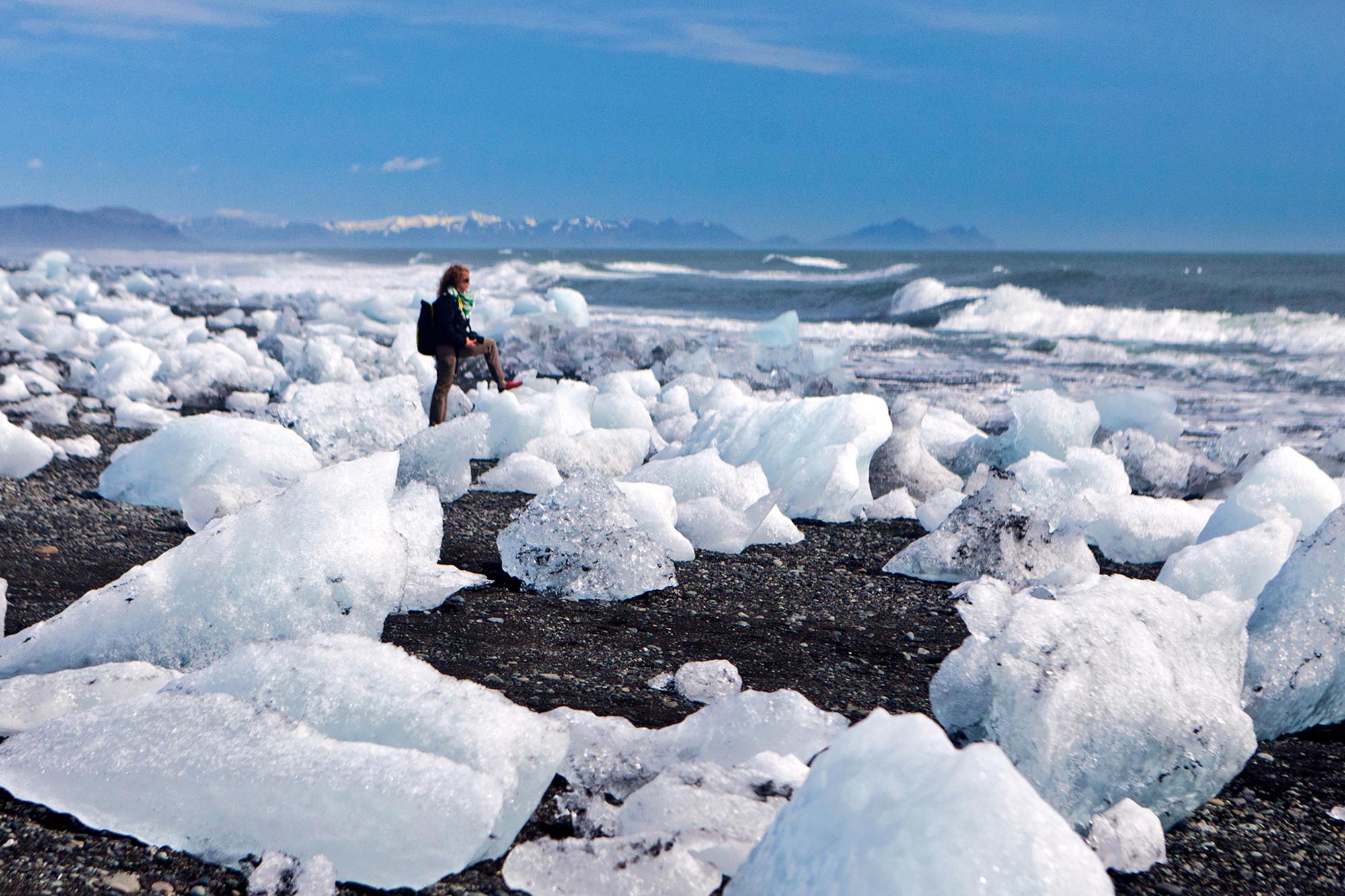
Sustainable Future's Speaker: National Geographic Soc. Emerging Explorer M. Jackson

Thursday, February 15, 2018 - 5:30pm to 7:00pm
Location: 
Founders Hall 118

National Geographic Society Emerging Explorer M Jackson is the author of While Glaciers Slept: Being Human in a Time of Climate Change (2015) and The Secret Lives of Icelandic Glaciers (2018). She is currently working on In Tangible Ice, a multi-year project examining the socio-physical dimensions of glacier retreat in near-glacier communities within all eight circumpolar nations. 

Jackson earned a doctorate from the University of Oregon in geography and glaciology, where she examined how climate change transformed people and ice communities in Iceland. A veteran three time U.S. Fulbright Scholar in both Turkey and Iceland, M Jackson currently serves as a U.S. Fulbright Ambassador, an Arctic Expert for the National Geographic Society, and international advisor for the Circumpolar Observatory. 

The Sustainable Futures Speaker Series is sponsored by the Schatz Energy Research Center, the Environment & Community graduate program, and the College of Arts, Humanities & Social Sciences at Cal Poly Humboldt. M Jackson’s lecture is co-sponsored by the Humboldt Geographic Society.

jackson

GIS Day 2017

Wednesday, November 15, 2017 - 11:00am to 5:00pm
Location: 
FH206 and Library 3rd Floor

It is the Cartography Club's pleasure to be hosting our annual GIS Day conference on Wednesday, November 15th!

11am - 2pm: Mapathon in FH106

2pm - 7pm: Speakers and Map competition, Library 3rd floor, Scholars Lab

gisday

GIS Day 2016

Wednesday, November 16, 2016 - 1:00pm to 5:00pm
Location: 
Kate Buchanan Room / Karshner Lounge / University Center

It is the Geospatial Club's pleasure to be hosting our annual GIS Day conference on Wednesday, November 16th! GIS Day is an international celebration for GIS (Geographic Information Systems) users to demonstrate real-world applications that are making a difference in our society! GIS Day will be held in the Kate Buchanan Room and Karshner Lounge from 1:00-6:00 p.m., with an interactive exhibit on the third floor of the Library open all week in the afternoon.

gisday

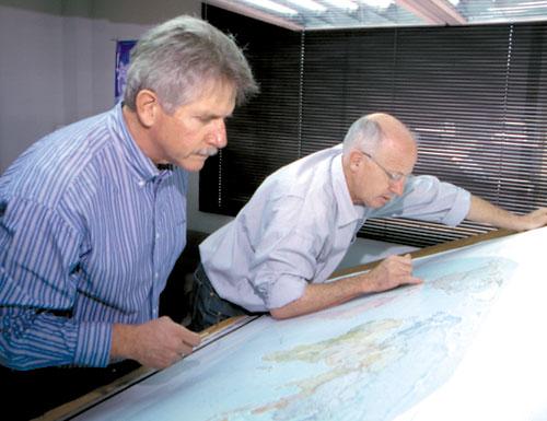
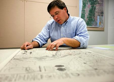
Presentation by cartographers Stuart Allan and Neil Allen

Thursday, April 6, 2017 - 2:00pm to 3:00pm
Location: 
Founders Hall Rm. 177

About Neil Allen of Benchmark Maps - As a cartographer, Neil is constantly enjoying the landscape whether it be in person or vicariously combing over maps. When not playing with the family, he enjoys bicycling, winery hopping, and the company of good friends. He is particularly looking forward to his presidency of the North American Cartographic Information Society (NACIS) of which he’s been an active member since 2001. 

About Stuart Allan and Raven Maps - Named after the view that ravens bring to the landscape, Raven Maps and Images in Medford exemplifies niche creative-services. The idea of selling maps as art arose from a 1981 conversation between mapmaker Stuart Allan and marketing entrepreneur Michael Beard. Allan Cartography, Inc., had established a reputation as a specialty mapmaker, and the company was also producing maps for posters and calendars, such as one of Mount St. Helens before and after its eruption. Beard had a network of sales and marketing contacts. After testing the market, Allan and Beard, together with Beard's wife Beppy and Colorado printer Scott McLeod, established Raven Maps and Images in 1986.
 
In 1987, the company began producing large-format state maps, completing the series in 2003. Raven also created maps of the contiguous U.S. states, North America, and Mexico and features such maps as "One World," which shows the earth in three different axis rotations, and "Landforms of the World," a relief map depicting land heights and ocean depths. Raven has national park maps for Crater Lake and Yellowstone, and its Rocky Mountain map displays nearly one million square miles of the West. Altogether, Raven has sold more than half a million maps.
 
Raven maps are topographical, which means they provide details of land relief, and most maps show landforms, rivers, county seats, and major highways. The mapmakers at Allan Cartography begin with data from the U.S. Geological Survey and add other historical information as the basis for an aesthetic concept. The artistry comes in orchestrating the elements of the map to support that concept, using color to depict elevation ranges and other spatial information while maintaining legibility, clarity, and theme. No one, the February 18, 1992, Wall Street Journal claims, makes more beautiful maps than Raven Maps and Images—an evaluation that has been echoed by the New York Times, Sunset Magazine, and the San Francisco Chronicle.
 
Map-building has changed over the years. Stuart Allan learned the craft in the pre-computer days, when cartographers used steel and sapphire engravers, film sheets, large camera, blades, and straight-edges. Early Raven state maps were constructed by layering film sheets that added different aspects and colors to the map to create an almost three-dimensional representation. The process was painstaking: the map of Alaska, for example, took thousands of hours because of the great variety of landforms in the state.
 
Today, the work is less labor-intensive, using digital tools that allow the same range of colors and shadings and that let mapmakers experiment with design. Digital cartography also has provided new opportunities. In cooperation with the University of Oregon, Raven has produced a digitally re-mastered reproduction of the 1748 Nolli Map of Rome.
 
The business has changed as well, with the company's size shifting to match the production process and evolving from mail order to phone sales to e-commerce. The core clientele for the company is map-lovers, many of whom give maps as gifts. As for the maps themselves, they have been featured in films such as Sideways, Honey, I Shrunk the Kids, and The Accused and as design illustrations for book jackets such as John McPhee's Assembling California and Annals of the Former World.
 
From Oregon Encylopedia


Professor Rosemary Sherriff co-authored a new paper in ecological applications.

Rosemary Sherriff co-authored a new paper in Ecological Applications titled “Tree-ring isotopes reveal drought sensitivity in trees killed by spruce beetle outbreaks in south-central Alaska” that is part of an on-going collaborative project evaluating climate change and disturbance effects in white spruce forests in southwest and south-central Alaska. 

PermLink: http://now.humboldt.edu/achievements/9605/

Dr. Chelsea Teale published “Wetlands of New Netherland” in the Hudson River Valley review.

Dr. Chelsea Teale, Geography, published “Wetlands of New Netherland” in the Hudson River Valley Review, relating colonial Dutch terms for wetlands to their modern-day US Fish and Wildlife classifications. Another paper also accepted for publication by New York History examines the uses and modifications of wetlands in pre-1800 agriculture. Geography major Dan Cooper (‘16) also worked as a research assistant under an Undergraduate Research & Creative Activities grant and continuing an Island Invasives and Eradication Programs database project by Dr.

Professor Matthew Derrick co-chairs panel at the Woodrow Wilson International Center.

On December 6, Matthew Derrick co-chaired a panel discussion titled “25 Years of Independence: Questioning Post-Soviet” at the Woodrow Wilson International Center Scholars in Washington, DC. The panel discussion, attended by scholars, policymakers, and media, coincided with the public release of the book Derrick co-edited, “Questioning Post-Soviet” (Wilson Center Press), which investigates the continuing significance of the fall of the USSR.